Collection, analysis and detailed study of the construction project, the search for possible errors;
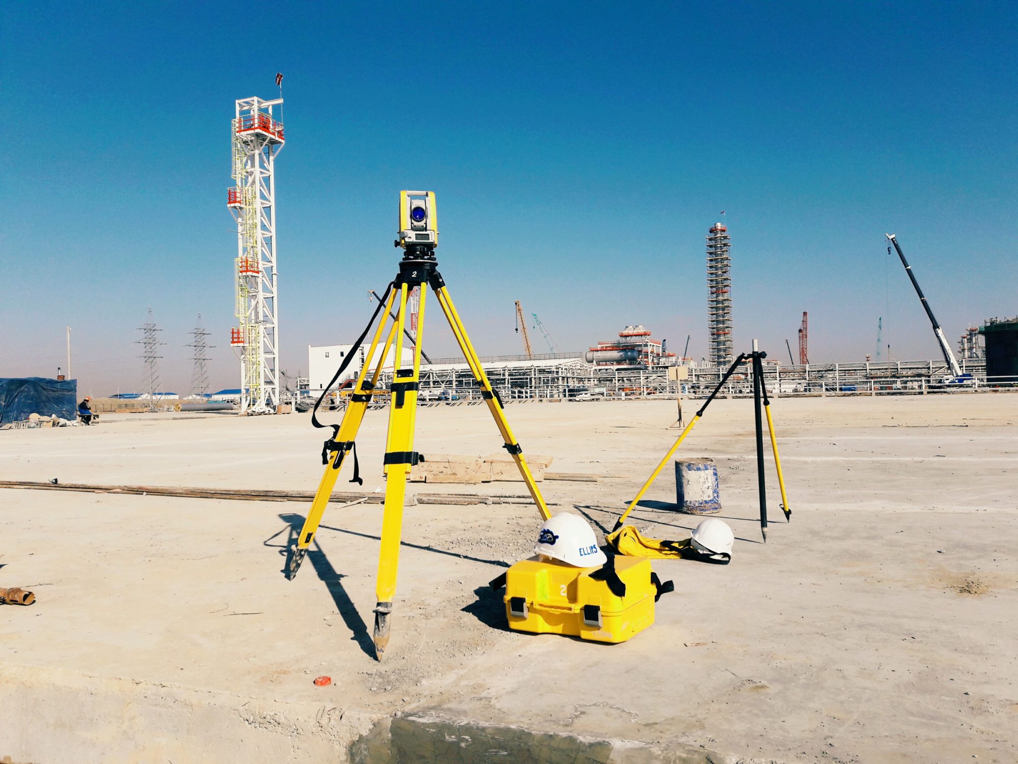
Creation and subsequent development of the reference geodetic network of the construction object, including the creation in the controlled area of some temporary geodetic network for which the coordinates of the points are calculated only from the results of geodetic constructions;
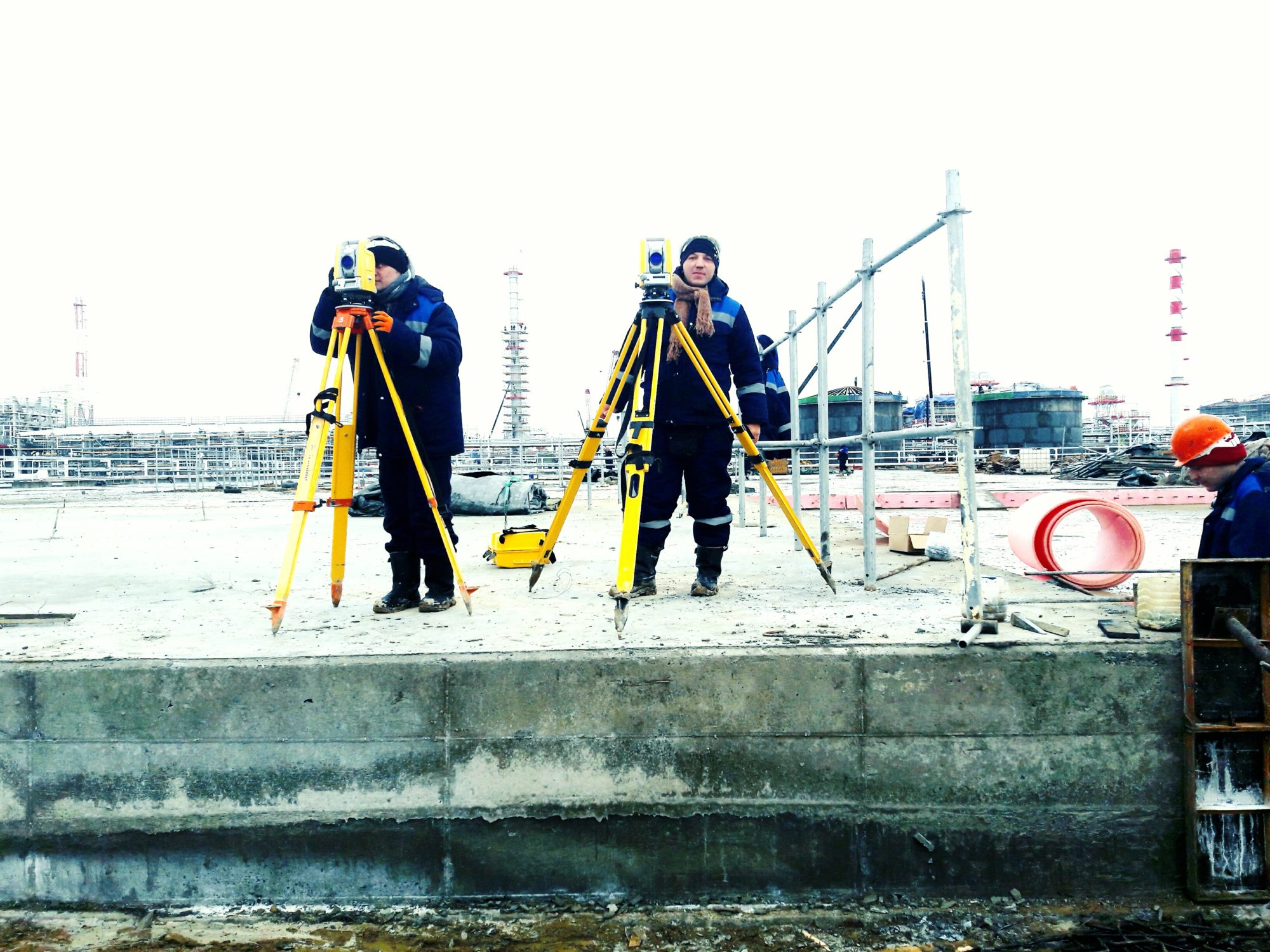
Carrying out in nature of the main axes of a construction object with their fastening on the ground;
Carrying out in kind of secondary structural elements of the object, including routes of underground utilities;
Carrying out in nature of high-rise rappers for construction and installation works;
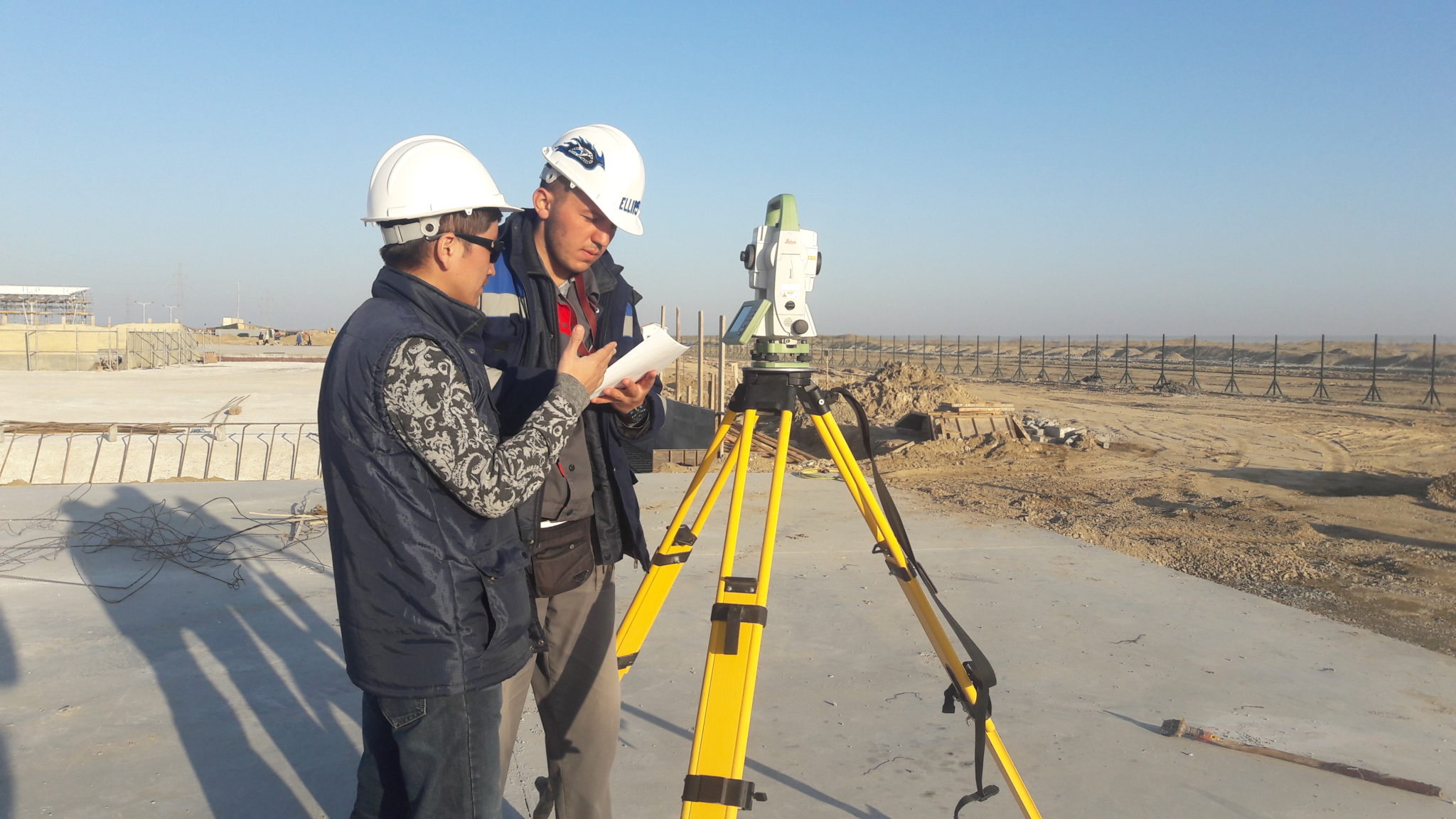
Control and acceptance of executive documentation of subcontractors;
Executive survey of built elements and preparation of executive drawings, including executive drawings of the planned and high-altitude position of structures during construction;
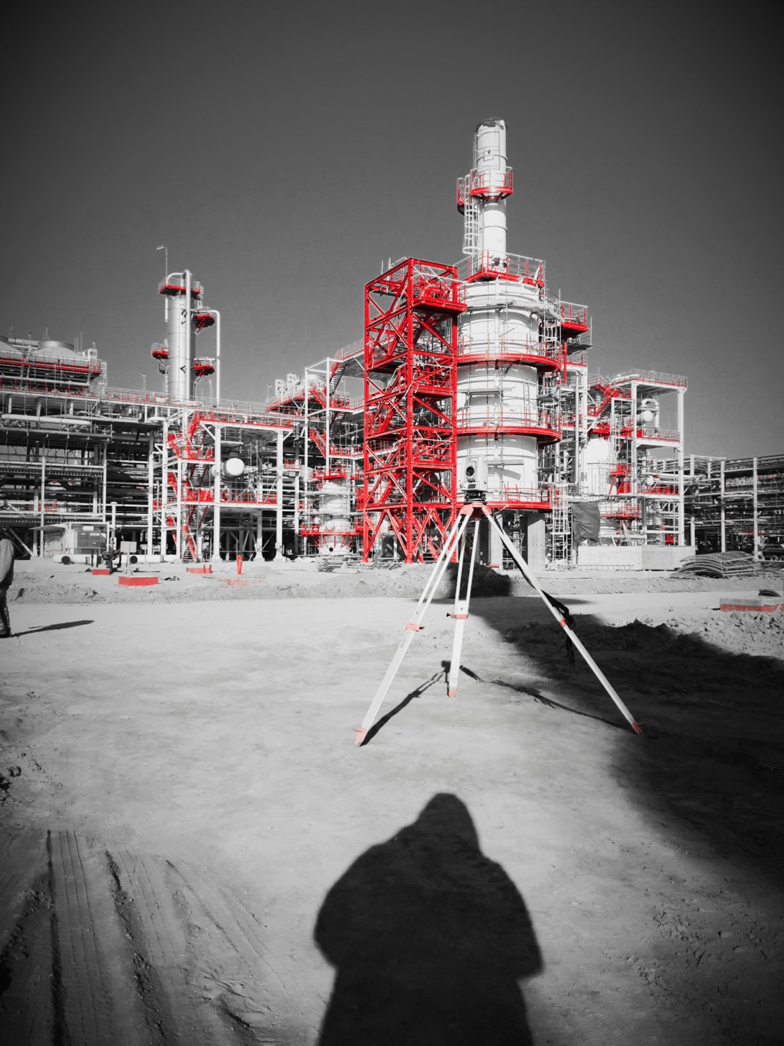
Geodesic control over the observance of the geometric parameters of building structures, including when installing equipment, calibrating crane runways and checking the verticality of columns, structures and their elements, leveling the surface and during shuttering operations;
At the final stage of construction, a set of executive geodetic documentation is prepared for delivery, containing: an executive master plan and diagrams for structural components and structural elements, executive drawings and axonometry for elevated and underground communications, special executive engineering plans, profiles and sections and cartograms;
Comparison of the obtained results with design coordinates (marks) and coordinates of like points that characterize the previous controlled horizon (in case of accompanying the construction of a multi-storey building);
Supervision over deformations of buildings and structures, their foundations, control of soil movements;
Preparation and submission of a technical report on the results of the construction process, geodetic works;
Maintenance of the excavation of pits (mound of soil), followed by counting the volume of earth masses, drawing up cartograms, as well as the calculation of the volume of construction works.


